Monitoring Slope Stabilities with Novel Imaging Techniques
Principal Investigator: Dr Dongfang Liang
Trimble contact: Christian Breuer
Project Description:

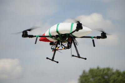
The stability of embankments, excavated slopes and natural slopes is a traditional geotechnical problem. Undesired mass movements of soil pose serious threat to the safety of the engineering contribution (earthworks) and various lifeline infrastructures (highways, railways, levees and so on). The aim of this project is to develop novel imaging techniques to accurately and efficiently survey the movement of slopes at low cost on construction sites and along lifeline infrastructures. The project will develop a method to accurately monitor the movements of soils based on the images captured either by a network of stationary cameras or by moving cameras mounted on a drone or vehicle. Such a ground mapping technique will be highly suitable for surveying the slope movement along lifeline infrastructures, such as embankments, highways and railways.
